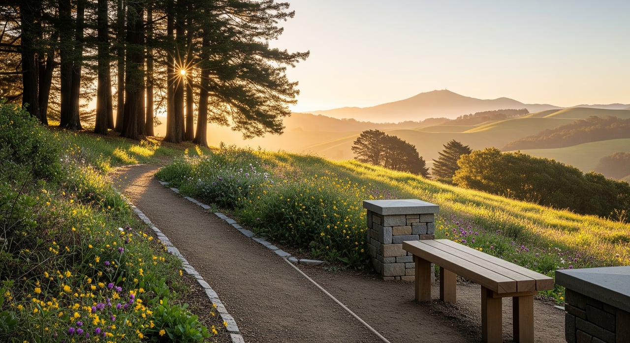
You live minutes from world-class trails in Fairfax, but the details matter: where to park, which pass to buy, and how to pick a route that fits your day. Whether you want a quick waterfall stroll or a ridge climb with big views, a little planning keeps your outing smooth. In this guide you’ll find simple directions to top trailheads, parking and pass rules, safety tips, and a handy checklist. Let’s dive in.
Top trailheads near downtown
Cascade Canyon Preserve: quick waterfall outing
Cascade Canyon is a 504-acre preserve west of downtown, known for shady creek corridors and the seasonal 20-foot Cascade Falls. The out-and-back to the falls is short, roughly 1.5 to 1.7 miles round-trip. Parking near Cascade Drive and Canyon Road is residential and very limited, and there are no restrooms or water on site. Dogs are allowed with preserve rules in effect. Check current details on the official Cascade Canyon Preserve page.
Deer Park: gateway to the watershed
At the end of Porteous Avenue, Deer Park offers a local trailhead with picnic areas and restrooms. From here, expect steeper, rocky singletrack as you climb into the Marin Water watershed toward connections like Worn Spring and Buckeye. Parking is at the road end, and the park is close enough to reach by foot or bike from downtown. Get basic info on the Town of Fairfax Deer Park page.
White Hill Preserve: ridge connector with views
White Hill links Fairfax open space to Loma Alta and the larger west Marin network. Popular routes include Blue Ridge Fire Road and Wagon Wheel Trail, with a summit around 1,430 feet. Dogs are allowed subject to posted rules, and some areas observe seasonal night closures. See the White Hill Preserve page for updates.
Loma Alta: big climbs and Bay panoramas
Loma Alta tops out near 1,592 feet with steep, exposed ridge roads and wide views. Expect a stout workout on fire roads like Loma Alta Fire Road. Trailhead lots are small, and conditions can be windy and sunny on the ridge. For a deeper overview, visit the Loma Alta Preserve page.
Gary Giacomini: rugged and remote
This roughly 1,500-acre preserve offers longer ridge roads and redwood canyons. It connects to White Hill and watershed lands, so route planning is key. Dogs are allowed under county rules; carry water and know your turnaround.
Getting there and parking
- Neighborhood trailheads like Cascade Drive, Canyon Road, and Deer Park have limited parking. On weekends, arrive early or consider walking, biking, or carpooling.
- If you plan to drive into the Mt. Tamalpais watershed via Sky Oaks Road for Lake Lagunitas or Bon Tempe, you need a vehicle parking pass. Check passes, rates, and payment types on Marin Water’s parking pass page.
- Prefer transit? Marin Transit Route 23 serves downtown Fairfax along Sir Francis Drake Boulevard, making several trailheads walkable or a short bike ride away.
Trail rules that matter
- Dogs: Keep dogs on signed trails and follow posted leash or voice-control rules. There is typically a maximum of three dogs per person on county open space. Review the latest Marin County Parks rules and regulations before you go.
- Multiuse etiquette: Bicycles are allowed only where designated. Yield to horses, announce passes, and keep speeds safe on shared routes.
- Groups and permits: Larger group activities and any commercial or organized outings usually require permits from the managing agency. Confirm specifics on the official preserve pages.
- Hours and closures: Some areas observe seasonal night closures. During Red Flag conditions, Marin Water may close vehicle access to the watershed. Check the county pages and Marin Water fire-danger updates before heading out.
Safety and seasons
- Be trail ready: Creek corridors can be muddy in wet season, and water crossings may be slick. Wear sturdy shoes, bring plenty of water, and dress in layers.
- Download maps: Cell service can be limited in canyons and on ridges. Save maps offline and carry a printed map as backup.
- Plants and wildlife: Stay on trails to protect sensitive habitats and avoid poison oak. Do a tick check after your hike and give wildlife space.
Cascade Bridges: what to expect
To reduce erosion at creek crossings and improve year-round access to Cascade Canyon, Marin County advanced the Cascade Bridges project with approvals noted in late 2023. The bridges are designed to protect aquatic habitat while making the approach more reliable. Follow project updates on the Cascade Bridges project page.
Quick everyday picks
- Short waterfall stroll: The Cascade Falls out-and-back is around 1.5 to 1.7 miles round-trip and fits before- or after-work windows.
- Ridge taste from town: Start at White Hill for a quick climb and wide views without committing to a long day.
- Watershed sampler: From Deer Park, head into the watershed for shaded singletrack and connections to fire roads.
Checklist before you go
- Check maps and alerts: Start with the Town of Fairfax public-trails maps and the relevant preserve page for any notices.
- Bring essentials: Water, layered clothing, sturdy shoes, dog bags, a small first-aid kit, tick-check supplies, and a printed or offline map.
- Plan parking and arrival: Expect limited parking at Cascade Canyon and Deer Park. Consider Route 23 to downtown, carpooling, or biking from home.
- Know the rules: Keep dogs under required control, stay on signed trails, yield to horses, pack out waste, and secure permits for organized groups or commercial activity. Review Marin County Parks rules and the Marin Water parking passes if you are heading into the watershed.
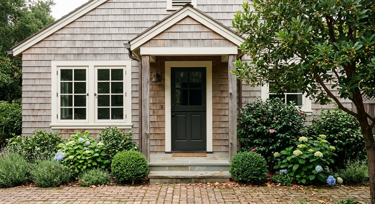
If living near trail access is part of your Marin lifestyle, I can help you find the right home base. For trusted local guidance and a boutique experience backed by Compass, connect with Raquel Newman.
FAQs
Where do you park for Cascade Falls in Fairfax, and are there restrooms?
- Parking is very limited along Cascade Drive and Canyon Road, and there are no restrooms or water at the preserve; check the Cascade Canyon Preserve page for details.
Do you need a pass to park at the Mt. Tam watershed via Sky Oaks?
- Yes, vehicle parking at Sky Oaks requires a pass; see current options and payment details on Marin Water’s parking passes.
Are dogs allowed off leash on Fairfax-area open space trails?
- Leash rules apply on many trails, with voice control allowed on some fire roads; always confirm the site-specific rules on Marin County Parks regulations.
Which bus gets you from San Rafael to Fairfax trailheads without a car?
- Marin Transit Route 23 serves downtown Fairfax along Sir Francis Drake Boulevard, from which you can walk or bike to several trailheads.
Are there seasonal or fire-related closures that affect Fairfax trail access?
- Some preserves have seasonal night closures, and Marin Water may close vehicle access during Red Flag conditions; check preserve pages and Marin Water fire-danger updates before visiting.